Bringing Point Clouds to Life with Battle Tested Data Processing
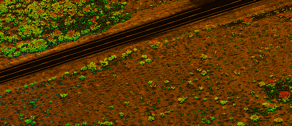
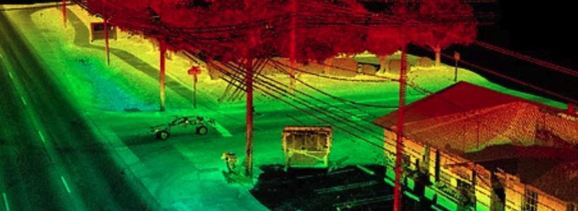
These days, drones and UAV imagery are commonplace. Just about anyone with off-the-shelf LIDAR software can create a point cloud. That’s the easy part. Taking that point cloud, the extra mile to a design level map is an art and a science, requiring deep expertise and specialized photogrammetric software.


