About DAS
Legacy of Innovation
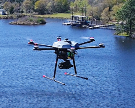
DAS Geospatial provides time-sensitive, expert geospatial solutions (aerial surveys, LiDAR, and Unmanned Aerial Systems) tailored to ensure the success of our clients, including engineers, surveyors, and developers.


Where we’ve been
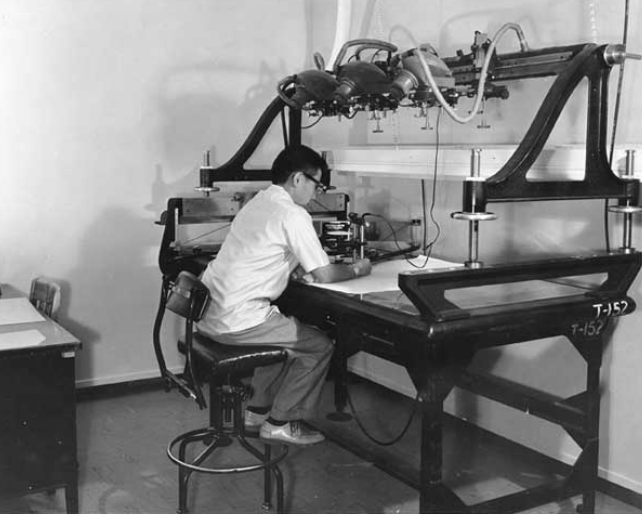
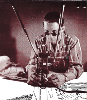
Our history
Founded in 1977, DAS Geospatial has provided expert aerial photogrammetry services to the planning, design, and engineering communities throughout the United States for nearly 40 years.
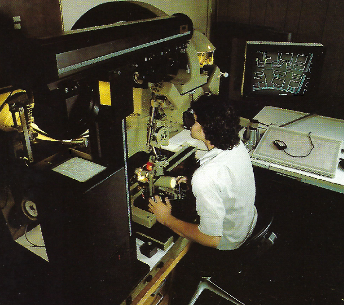
We are dedicated to delivering sophisticated real-time geospatial mapping and aerial data by utilizing state-of-the-art technologies and software. Our skilled staff has over 300-combined years of aerial mapping and photogrammetry experience, bringing specialized expertise to every aspect of our imagery and aerial mapping production.
DAS Geospatial is a Woman Owned (WBE), DBE, and HUB Certified Small Business.