Our solutions
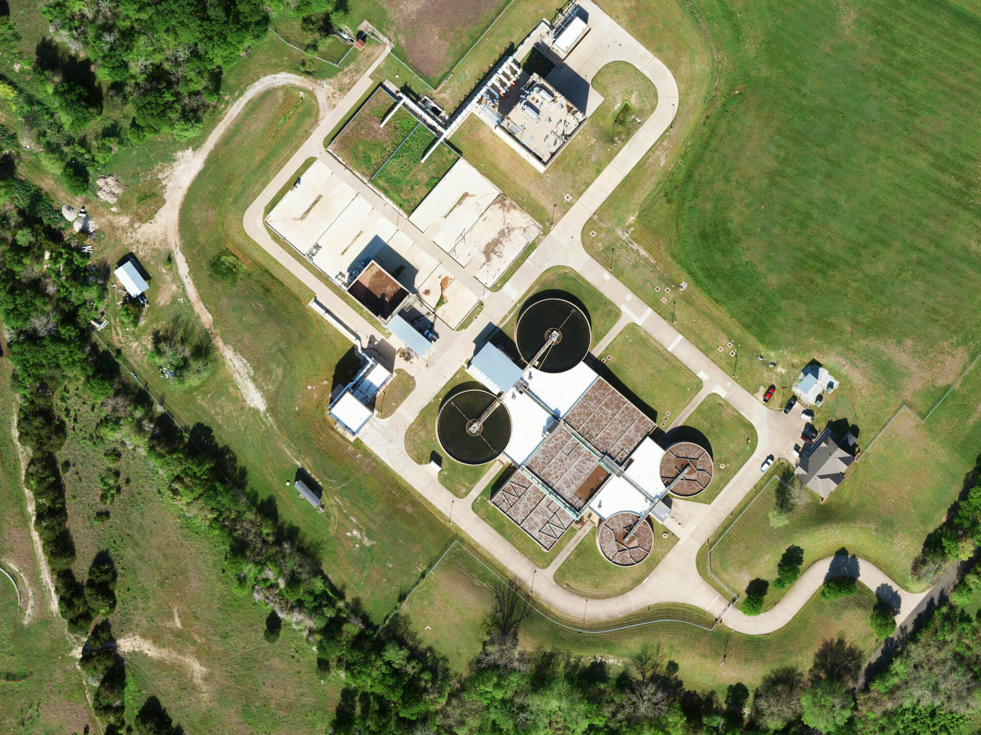
Aerial Photography
DAS Geospatial provides expert aerial photography for any industry. Our aerial photography solutions include oblique imagery, near-infrared imagery, aerial video, thermal imagery, and construction progress imagery.
“We have relied on Das for more than 15 years as our go-to partner for reliable and responsive aerial photography, which has always exceeded my firm’s expectations.”
Project Manager at a Houston-Based Engineering Firm
Oblique Imagery
DAS Geospatial is a specialist in oblique imagery, which unlike traditional orthophotography utilizes an array of cameras to acquire images at a downward angle between 40° to 50° to the ground. Our oblique imagery offers 3D information of ground objects from different views, providing both top surface information and the side of objects (e.g., building facade).
Thermal and Near-Infrared Imagery
Rely on Das Geospatial for your thermographic imaging needs to support large-acreage projects, leak detection, asset inspections, and agricultural remote sensing, among other applications. We also offer near infrared imaging (NIR), which provides a number of commercial, industrial, and agricultural uses, such as vegetation management and analysis of impervious surfaces, pollution, and other features.
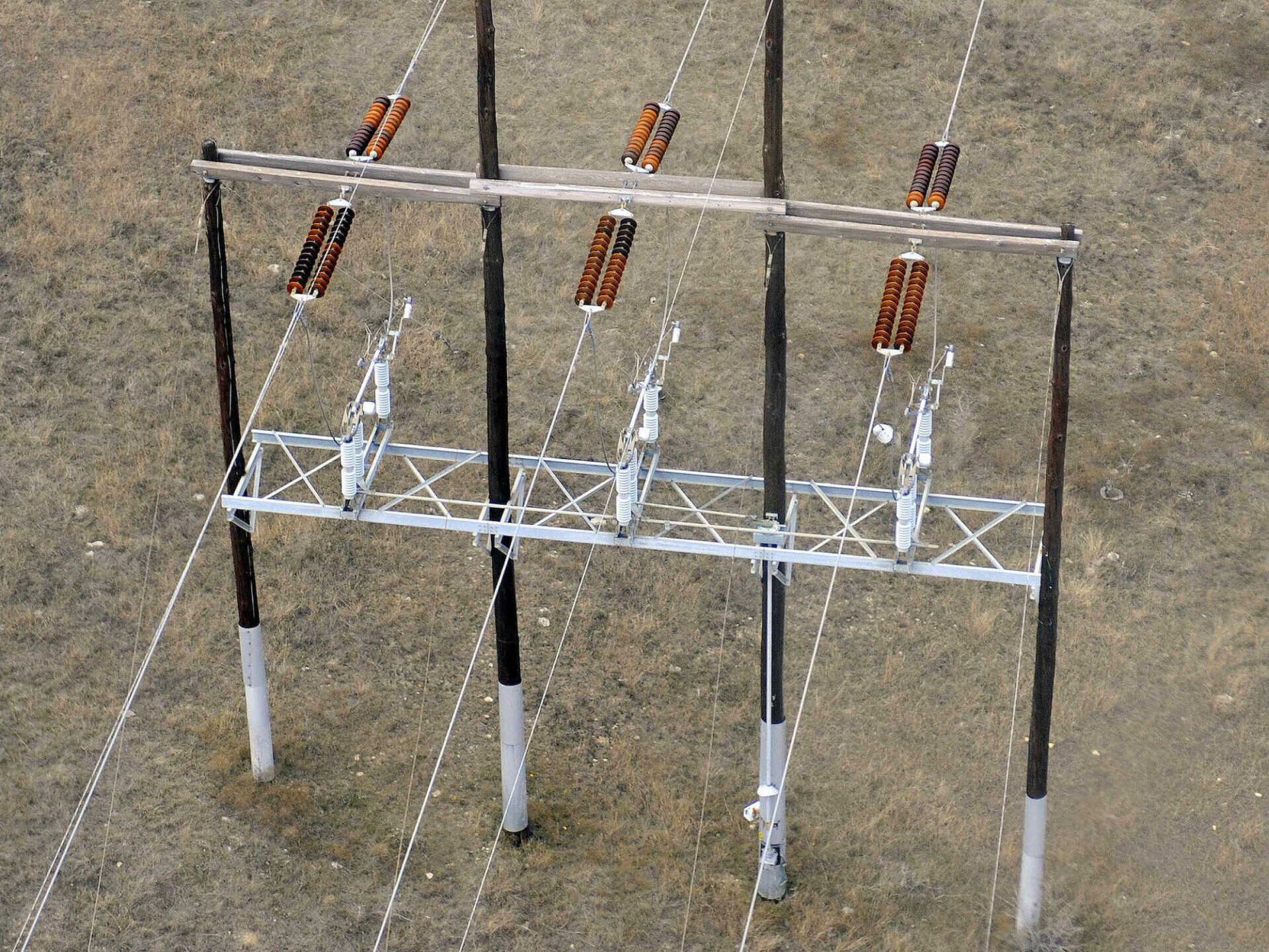
Aerial Video & Construction Progress
We offer expert aerial video acquisition for rapid change detection and object tracking, an effective tool for monitoring projects over time such as construction progress. With the option to annotate/document project flyover using cockpit voice recorder, our aerial video integrates GPS data and automates image processing to improve image accuracy while minimizing costs.
Fixed Wing, Helicopter & UAV Platforms
Unlike most aerial photography providers, DAS Geospatial offers a complete spectrum of platforms to meet project requirements, including fixed wing, helicopter, and UAV. Depending on the location, acreage size, and design specifications, we work with each client to fit our aerial platforms to the project, balancing speed, cost, and quality.