Our solutions
Aerial Mapping
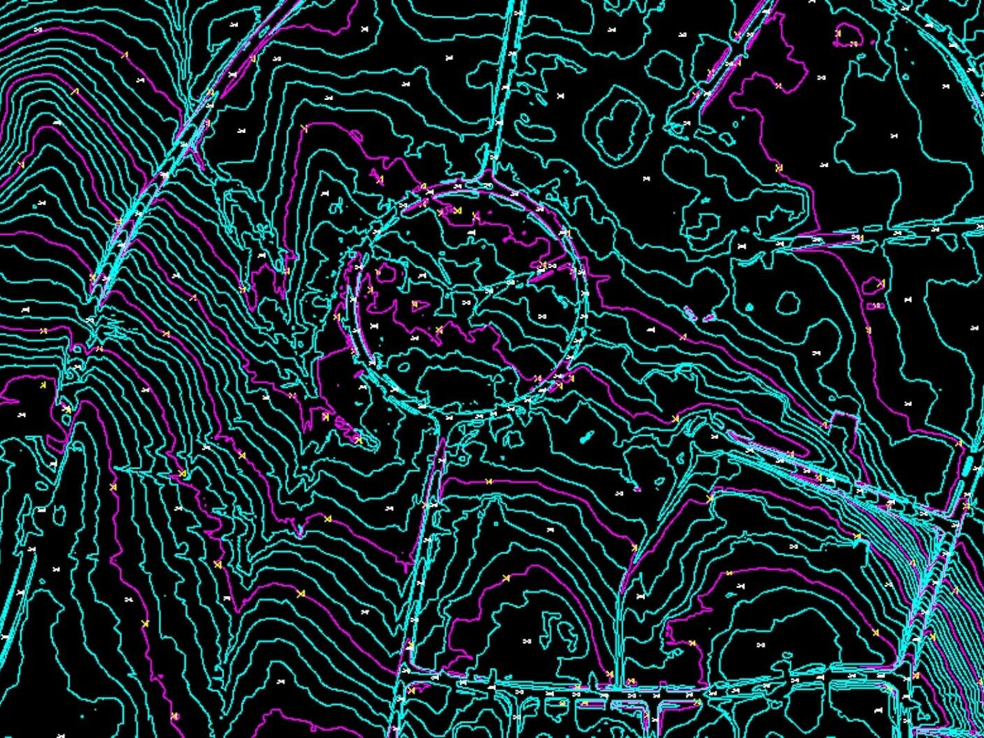
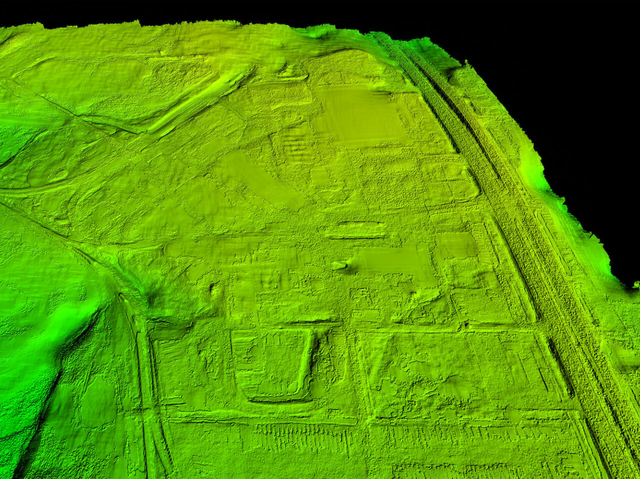
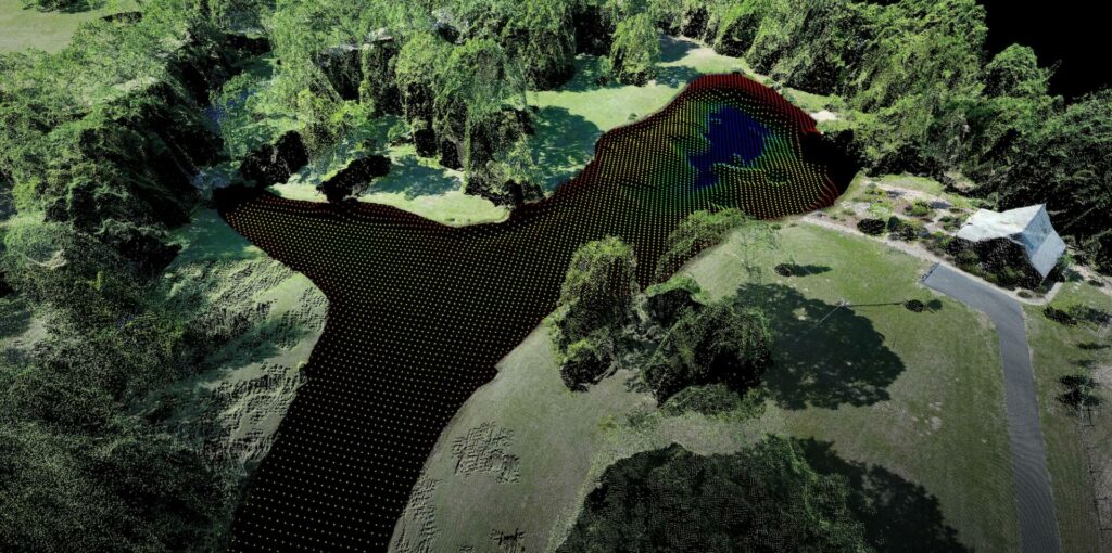
DAS Geospatial provides expert aerial mapping for any size project and industry. Our geospatial solutions include design-level maps, digital orthophotography, contour maps, planimetric maps, GIS feature collection, DEM/DTM, basemaps, corridor maps, 3D animated fly throughs, vegetation maps, and facility mapping.
“Our team turns to DAS for all of our airport infrastructure mapping needs, from obstruction surveys and vegetation encroachment analysis to periodic updates to our electronic airport layout plan.”
Director of Operations at Midwest Airport
Digital Orthophotography
At DAS Geospatial, we are experts in the complex science of orthophotography, combining the latest tech and skillsets to process and deliver engineer design-level maps. Our orthophotographic imagery is geo-corrected to ensure that each pixel aligns with longitude and latitude lines, providing our clients with the precision needed for construction, engineering, and transportation projects.
GIS Feature Collection with Attributes
DAS Geospatial remains on the forefront of data acquisition with our comprehensive aerial platforms that include fixed wing, helicopter, and UAV/drones. We deliver aerial mapping data as a complete GIS layer ready for analysis with precisely located features and their attributes, ideally suited for many commercial, industrial, and agricultural applications.


Flexible Aerial Mapping Solutions
We consult with every client on their unique project requirements, delivering tailored mapping solutions while balancing speed and cost. DAS Geospatial provides unmatched expertise in contour mapping, planimetric mapping, corridor mapping, vegetation mapping, and facility mapping (from oil & gas and renewable energy to water management and aviation).
Analysis-Ready to Accelerate Project Timelines
DAS Geospatial prides itself in delivering fast and cost-effective aerial mapping solutions with engineer design-level accuracy. We will deliver project data in exactly the format you need, such as digital elevation models, digital terrain models, and basemaps ready for use in your GIS or CAD programs. Plus, a variety of video formats and 3D animated fly through of aerial mapping projects.
