Our solutions
Aerial LiDAR
DAS Geospatial provides expert aerial LiDAR for commercial, industrial, and transportation applications. Our geospatial solutions include end-to-end LiDAR data acquisition from mobile and terrestrial platforms complete with data processing and engineer design level point clouds.
“We’ve used DAS for both large-acreage projects to create basemaps for pad construction as well as UAV work for asset inspections and we’ve always been impressed with the results.”
Asset Manager for a Public Oil & Gas Operator
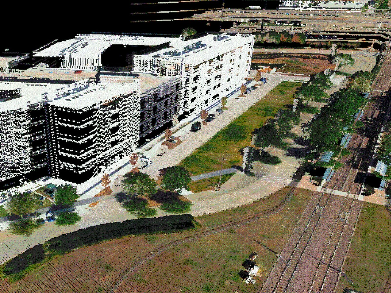
Mobile LiDAR
DAS Geospatial is a specialist in 3D laser scanning, which offers a fast and efficient solution to acquire data from our selection of aerial platforms (fixed wing, helicopter, and UAV). Offering design-level accuracy, DAS mobile LiDAR captures all required measurements in a single pass, accelerating project delivery and minimizing data acquisition costs. An ideal choice for construction projects and transportation infrastructure of all types.
Terrestrial LiDAR
Terrestrial LiDAR (also known as Terrestrial laser scanning or topographic LiDAR) acquires 3D coordinates of multiple points for a ground-based object by emitting laser pulses and measuring the distance from the target to the measurement device, providing DAS Geospatial clients design-level 3D and digital terrain models. We combine the latest LiDAR sensor technology with an unmatched background in data acquisition, processing, and analysis, enabling DAS Geospatial to integrate mobile, terrestrial, and historical data for a complete, 4D view of projects over time.